Van Berkel Lab
Geospatial data science for environmental change and decision-making.

Questions that connect our work
Climate adaptation, migration & urban futures
How will climate-related migration reshape cities, land use, infrastructure, environmental quality, and inequality?
Geospatial AI & spatial data science
How can AI and large spatial datasets produce meaningful, scalable, and responsible information about environmental and urban conditions?
Participatory GIS & environmental decision-making
How can local knowledge, community priorities, and environmental models be integrated into transparent planning and scenario analysis?
Landscape perception, conservation & human–environment relationships
How do people perceive, value, and interact with landscapes, and how can those relationships inform conservation and planning?
Current programs and platforms
CLARS
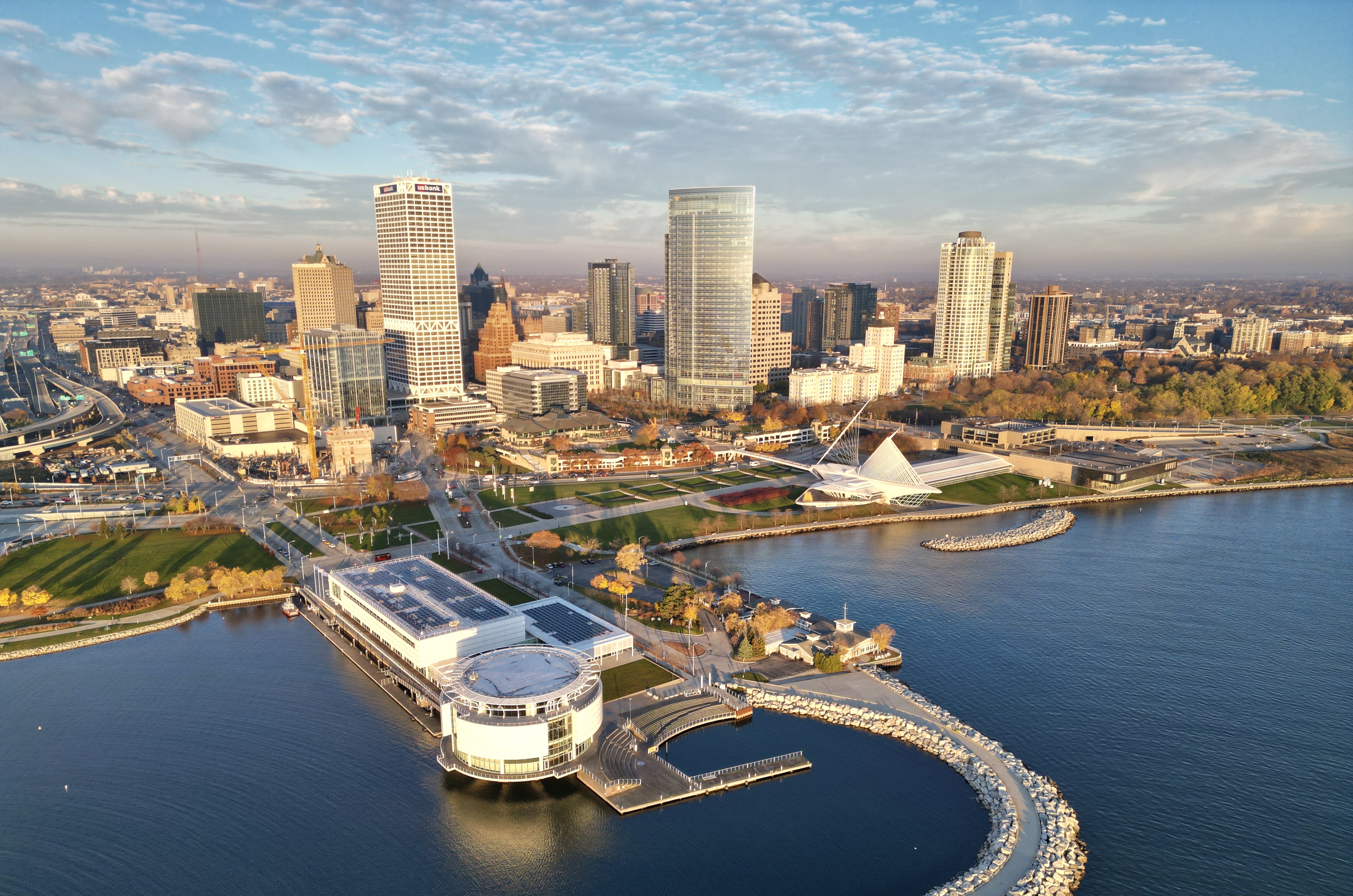
Comparative research on climate-related migration, urban change, and knowledge exchange across the Lake Victoria Basin and North American Great Lakes.
CHIRRP / PUMP-COR
Community-centered flood planning that links climate and hydrologic modeling with participatory GIS and scenario planning.
PIVOT
A modular platform for mapping local knowledge, comparing priorities, and connecting community input with environmental and urban models.
V2V-AI
Research with City of Detroit partners on scalable assessment of residential conditions using street-level imagery and vision-language models.
Recent publications
People & updates
The lab brings together researchers working across geospatial data science, climate adaptation, urban analytics, conservation, and participatory decision support.
Meet the team → · Latest news →
University of Michigan
School for Environment and Sustainability · Geospatial Data Science